When I work on a collection, I’m always on the lookout for different and interesting materials. After opening my 20th folder full of letters, it’s a nice surprise when something out of the ordinary catches my eye.
In many of the Society’s collections I have come across hand-drawn maps of the mission areas the Fathers and Brothers have found themselves in. These colored maps stand out from all the black-and-white text and they are something that help me connect with those early missioners. Today it’s so easy to go onto Google and look up far-reaching areas of the world. But for those missioners starting out in the 1940s in Africa and Latin America, detailed maps of remote locations were hard to come by. So they would make their own!
Four examples that I’ve found come from Tanzania and El Salvador.
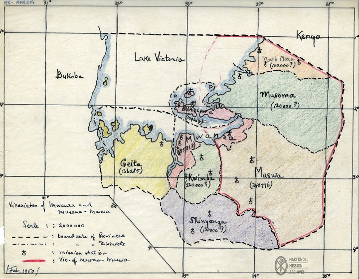
Tanzania, 1950
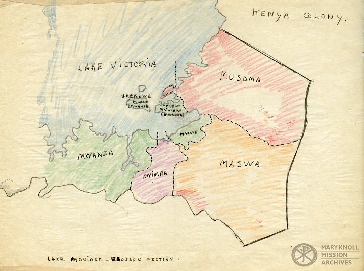
Tanzania
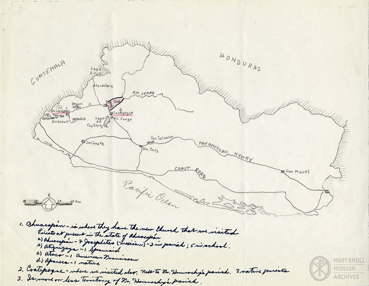
El Salvador
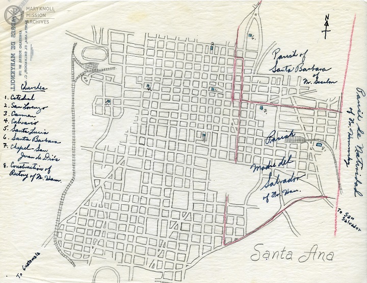
Santa Ana, El Salvador
I’ve also pulled a map made by the Maryknoll Sisters. This map is of their mission work in Bolivia.
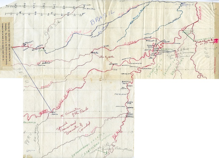
Bolivia